Features
Everything it does, and what each part looks like.
64 live data layers behind it — but what you actually touch is a map, a score, a checklist, and an export button.
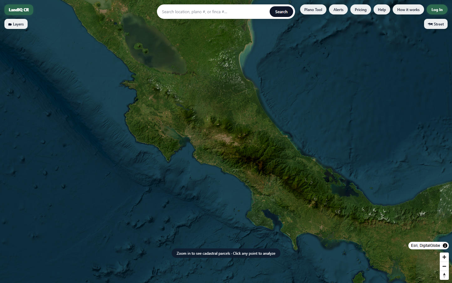
Check Land — the map
Click anywhere in Costa Rica and pull the cadastral record for whatever parcel sits under your finger.
- Official parcel boundaries from the national cadastre
- Toggle government and satellite overlays — forest, rivers, roads, protected areas
- Satellite, street and cadastral basemaps
The LandIQ Score
6 weighted pillars resolved into one number from 0 to 100 — and re-weighted depending on whether you want to farm it, build on it, or put solar on it.
- Terrain, climate, soil, seismic risk, infrastructure, land cover
- Five sector views — the same land scores differently for different uses
- Every pillar shows its raw score AND its weight, so you can see what actually moved the number
Screenshot pending
The LandIQ score tab showing the 6-pillar breakdown for a parcel
AI due-diligence checklist
A plain-English list of what to actually verify on this specific parcel — generated from its data, not pulled from a template.
- Flags what looks unusual about this parcel in particular
- Written to hand straight to a client, or to scope your own review
- Tells you what LandIQ can't check — so you know what to send to a lawyer
Screenshot pending
The AI-generated due-diligence checklist for a parcel
Ask AI about the parcel
Ask questions in plain English and get answers grounded in that parcel's own data — not in general knowledge about Costa Rica.
- “Is this steep enough to need retaining walls?”
- “How far is the nearest hospital?”
- “What's the rainfall like in October?”
Screenshot pending
Ask AI answering a plain-English question about a parcel
Property alerts
We re-check your parcel against the cadastral record every day and email you if its registered details change.
- Daily monitoring of parcels you've saved
- Email the moment the registered area or district changes
- Free during early access
Screenshot pending
The property alerts screen listing watched parcels
The Plano Tool
Have a photo of an old plano, or a scan someone WhatsApped you? Upload it and the AI reads the plano number off it.
- Reads plano numbers out of photos, scans and PDFs
- Hands straight off into the parcel view
- Six free credits to start
Screenshot pending
The Plano Tool extracting a plano number from an uploaded scan
Export the data
Take the boundary and the analysis with you. It's your data — we don't lock it in.
- GeoJSON, KML and CSV
- Drops straight into QGIS, Google Earth or a spreadsheet
- The full report prints cleanly to PDF
Screenshot pending
The export tab offering GeoJSON, KML and CSV downloads
Run it on a parcel you're actually looking at.
Free while we're in early access. The sample report above is a real 6.4985 ha parcel in Santa Cruz.